


COPYRIGHT©2022 MUHANIT. ALL RIGHTS RESERVED. Designed by WebSite.co.kr
HOME >BUSINESS > NEWSROOM
NEWSROOM
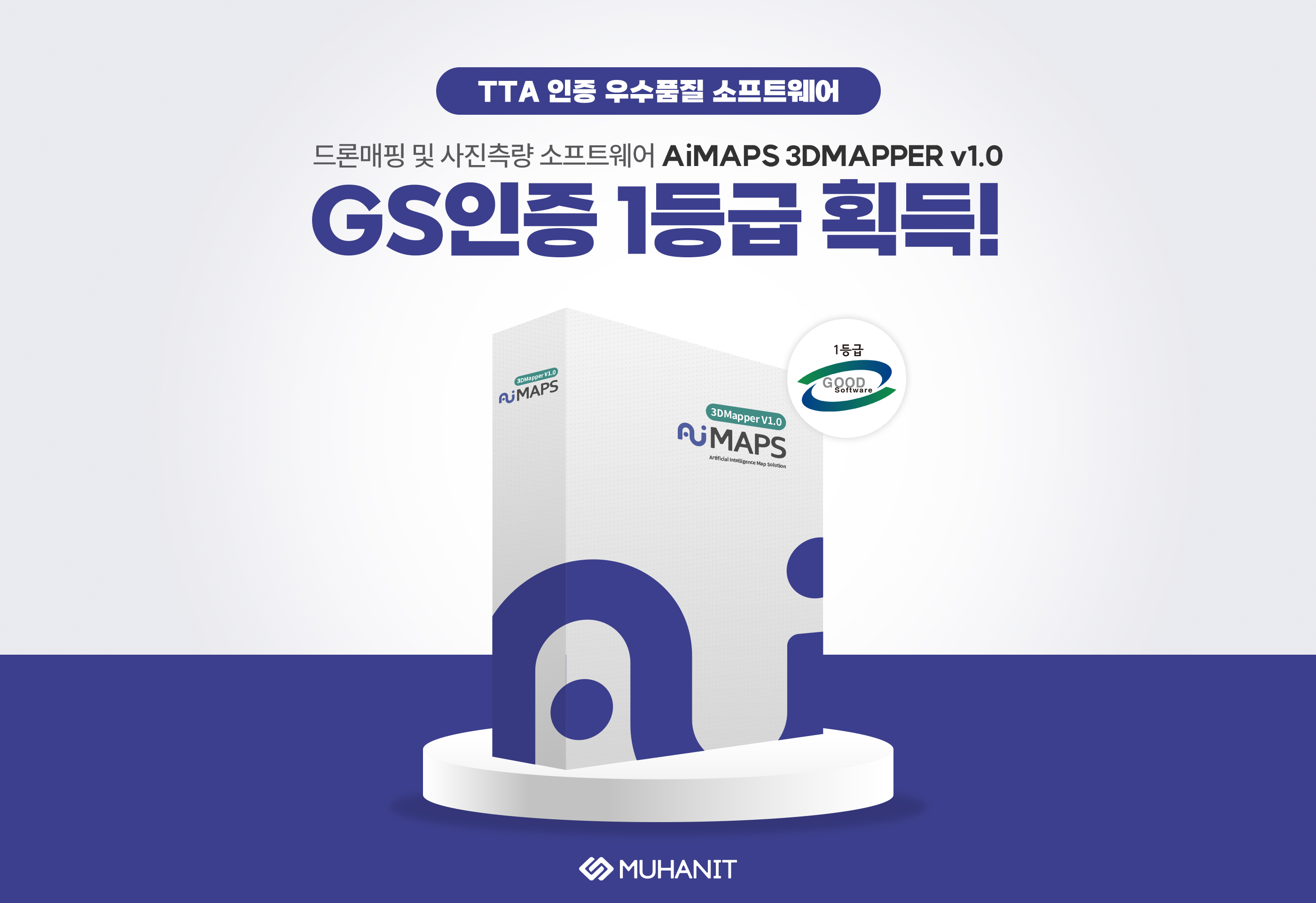
MuhanIT Gets 1st Grade In GS Certification 'AiMAPS 3DMAPPER v1.0', Drone Mapping and Photogrammetry Software
마스터
2024-02-01
Number of views 15,704
MuhanIT announced on the 1st that the drone mapping and photogrammetry software "AiMAPS 3DMAPPER v1.0" has acquired the first grade of GS certification among domestic image processing software.
GS certification is a national quality certification system in which TTA evaluates software based on ISO/IEC 25023, 25041, and 25051 international standards. It is a software quality certificate that tests/tests and grants the functionality, reliability, efficiency, usability, maintenance, portability, performance, interoperability, interoperability, and suitability of software, and the first grade obtained by MuhanIT is the highest grade given by GS certification.
"Drone mapping and photogrammetry software AiMAPS 3DMAPPER v1.0" features functions necessary for intelligent spatial information services from drone data collection, data conversion, and data analysis on one platform. Image data acquired through drone control can be automatically converted into 2D orthogonal images and 3D modeling.
(...)
---
[기사 원문]
▼ 블로그
https://blog.naver.com/muhan_it/223341008987
▼ 서울경제
https://n.news.naver.com/mnews/article/011/0004294637?sid=101
https://www.sedaily.com/NewsView/2D56W20OIM
MuhanIT CO.,
Registration # : 873-88-00217 CEO : KyungRok Bae, MyungHwa Lee
HQ : #706, 12, Dangsan-ro 2-gil, Yeongdeungpo-gu, Seoul, Republic of Korea Direction
Branch : #302, Gwangju Institute of Industrial-Academic Convergence Research, 365, Bitgeurinsandan-ro, Gwangsan-gu, Gwangju, Republic of Korea
T. 02-6952-0825 F. 02-6952-0826 E. admin@muhanit.kr Privacy Policy
